Weir Farm National Historical Park
10 mi south · National Park Service
Visit the home and studio of America's most beloved Impressionist, J. Alden Weir, and walk in the footsteps of generations of world-class artists.
Outdoors
Refuges, lakes and wild areas near Danbury for wildlife viewing and birdwatching.
Good to know: Early mornings and evenings are best for wildlife; bring binoculars and keep a respectful distance.
10 mi south · National Park Service
Visit the home and studio of America's most beloved Impressionist, J. Alden Weir, and walk in the footsteps of generations of world-class artists.
23 mi east · US Army Corps of Engineers
Hop Brook Lake is a popular day use park with swimming and picnicking facilities, athletic fields, picnic shelters and over 7 miles of hiking trails winding through the woods and fields.
23 mi east · US Army Corps of Engineers
Hop Brook Lake Recreation Area is located within the towns of Middlebury, Naugatuck and Waterbury, Connecticut. Its 536 acres provide excellent recreation opportunities and a chance to escape from the growing suburbia surrounding the park.
Map of 25 places loads as you scroll.
Visit the home and studio of America's most beloved Impressionist, J. Alden Weir, and walk in the footsteps of generations of world-class artists.
Hop Brook Lake is a popular day use park with swimming and picnicking facilities, athletic fields, picnic shelters and over 7 miles of hiking trails winding through the woods and fields.
Hop Brook Lake Recreation Area is located within the towns of Middlebury, Naugatuck and Waterbury, Connecticut. Its 536 acres provide excellent recreation opportunities and a chance to escape from the growing suburbia surrounding the park.
Black Rock Lake is located next to Black Rock State Park. A portion of the 35-mile-long Mattatuck Blue Trail System crosses through the reservoir. The 21-acre lake is open seasonally for fishing and non-motorized boating.
This shallow 40-acre lake and streamside environment provides excellent hiking, hunting, canoeing and fishing opportunities. The feeder streams and lake are stocked with brown, brook and rainbow trout by the State.
Northfield Brook Lake is a scenic day use park with a swim beach, horseshoe pits, picnic shelters, tables and fire grills located throughout the park. The 1.7-mile-long self-guided hiking trail winds throughout the park.
Northfield Brook Lake Group Shelters are located along a small scenic lake in the Naugatuck Valley of west-central Connecticut.
The Vista picnic area offers visitors excellent views of the dam and portions of the Naugatuck River Valley. The streamside environment is popular for fishing and upland game hunting.
Target Rock National Wildlife Refuge was acquired in 1967 as a donation from the Eberstadt family, who maintained the land as a garden estate.
The Congressman Lester Wolff Oyster Bay National Wildlife Refuge was donated to the Service by the Town of Oyster Bay in 1968 as a habitat for migratory birds, particularly wintering waterfowl.
Sagamore Hill was the home of Theodore Roosevelt, 26th President of the United States, from 1885 until his death in 1919. During Roosevelt's time in office, his "Summer White House" was the focus of international attention.
Shawangunk Grasslands National Wildlife Refuge, which protects 597 acres in Ulster County, NY, was established in July 1999 to support grassland-dependent migratory birds and wintering raptors.
The 700-acre lake is open seasonally for fishing and boating and has a large boat ramp available. The lake and river are stocked with trout by the State.
Established in 1947, Wertheim National Wildlife Refuge protects 2,550 acres on the south shore of Long Island.
Stewart B. McKinney National Wildlife Refuge is comprised of 10 units stretched across 70 miles of Connecticut's coastline. It was established in 1972 and was originally called Salt Meadow National Wildlife Refuge.
Immerse yourself in an enchanting collage of coastal life and history. Rhythmic waves, high dunes, ancient maritime forests, historic landmarks and glimpses of wildlife, Fire Island has been a special place for diverse plants, animals and…
This campground boasts a spectacular view of the Verrazzano-Narrows Bridge, the longest vehicle suspension span in the United States. When it opened in 1964, it was the longest span in the world for 17 years.
Welcome to Gateway National Recreation Area, Sandy Hook Unit! There are a variety of cultural and recreational opportunities available at the park including history tours, living history demonstrations, hiking, birding, kayaking, camping,…
With abundant wildlife, lush scenery and waterfront views, Indian Hollow Group Campground, located at the Knightville Dam and Reservoir, offers groups and clubs a recreational oasis.
In 1958 the U.S. Army Corps of Engineers built Buffumville Dam in Charlton, Massachusetts to provide flood risk management for downstream communities.
The U.S. Army Corps of Engineers invites you to come relax at Tully Lake. There are a variety of outdoor recreation activities for you and you family.
On a quiet back road and across an old fieldstone bridge lies West Hill Park, where the West River widens to form a large, natural pool.
Townshend Lake is a flood control project operated by the U.S. Army Corps of Engineers, serving communities within the West River Valley, and those downstream.
Otter Brook Lake Recreation Area is a U.S. Army Corps of Engineers day use facility offering many outdoor recreation opportunities everyone can enjoy. The park is located in Keene and Roxbury, New Hampshire.
Surry Mountain Lake Beach is a U.S. Army Corps of Engineers day use facility located on the Ashuelot River in Surry, New Hampshire.
Distances are straight-line miles from the center of Danbury. Listings come from Recreation.gov’s federal recreation database; check each official page for hours, fees, fire restrictions and closures before you go.

THINGS TO DO · YOUTUBE SHORT
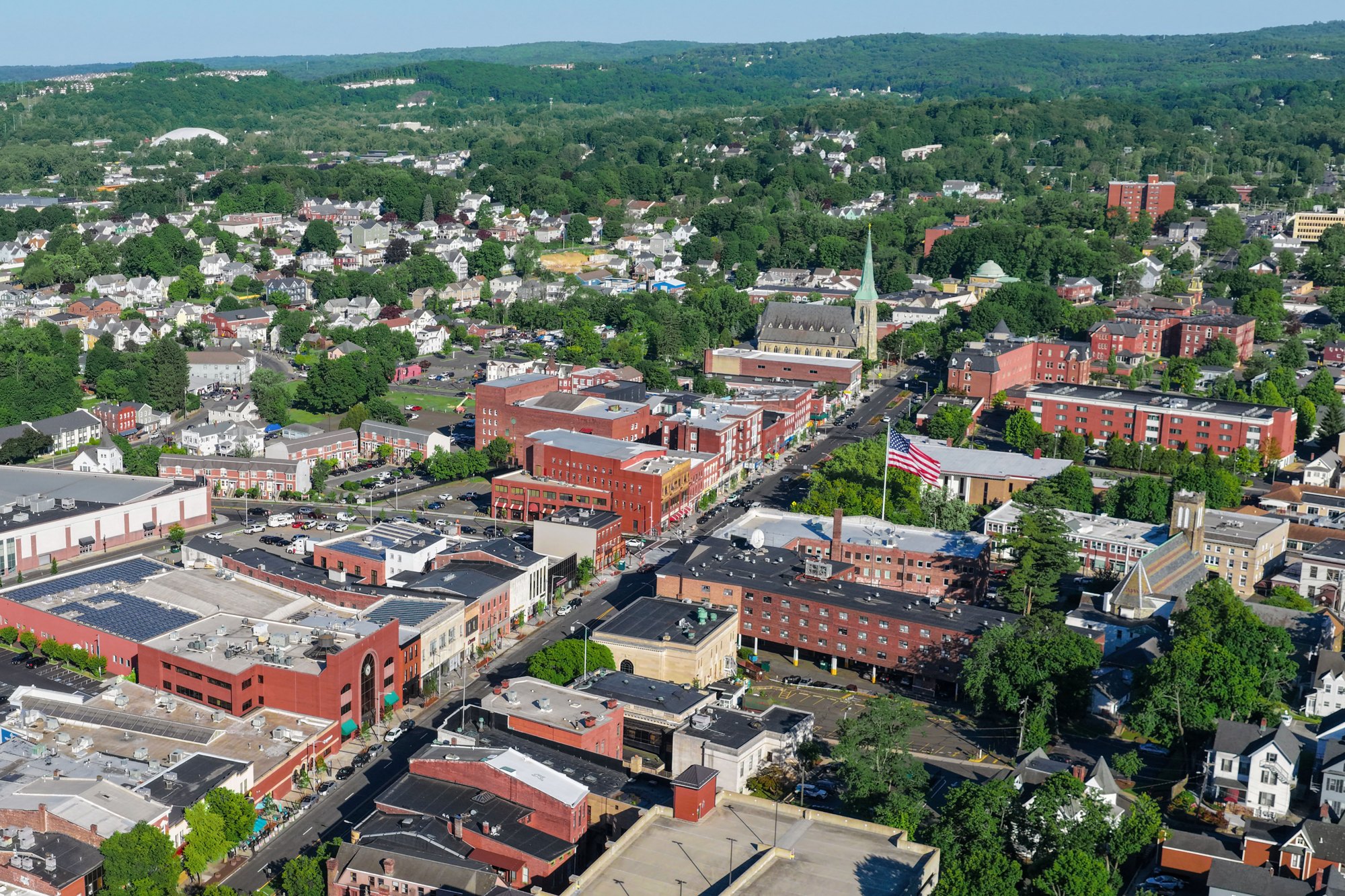
A short drone flight over Danbury.
Watch on YouTube ↗
A DRIVE AROUND TOWN
Danbury CT Drive Tour | Real City Views and Downtown Streets.
Watch on YouTube ↗Weir Farm National Historical Park (National Park Service), about 10 miles south of Danbury as the crow flies. Next are Hop Brook Lake (23 mi) and Hop Brook Lake Recreation Area (23 mi).
Federal agencies including US Army Corps of Engineers, National Park Service, Fish and Wildlife Service. Each listing links to its official page for hours, fees, closures and current conditions.